
June 25, 2026

Vibhawa flies drones over solar farms, substations, transmission lines and industrial plants in Sri Lanka and the Maldives — and the data is read by the electrical engineers and certified thermographers who understand the asset. Thermal, visual or 3D: the sensor changes, the engineering judgement behind it doesn’t.
plus two Level II — every survey analysed by them
interpreting what the drone sees
thermal to 3 cm/px ground sample distance
ISO 9001:2015 certified consultancy
A drone is the fastest way to get a camera above a 33 kV gantry, across a rooftop array or around a transformer yard without a shutdown, a scaffold or a person near live equipment. That part any operator can do.
What a drone operator cannot do is tell you whether the warm bushing is a loose connection or afternoon sun, whether the cool string is an open circuit or a bypass diode doing its job, or which of forty anomalies to fix first. That is an engineering read, and at Vibhawa it is made by the same team that tests, commissions and models these systems for a living.
So we treat the aircraft as an instrument — one more calibrated way of gathering data about an electrical asset — and sell the finding, not the flight.
Each service is organised by the deliverable you receive, not by which sensor was on the aircraft.
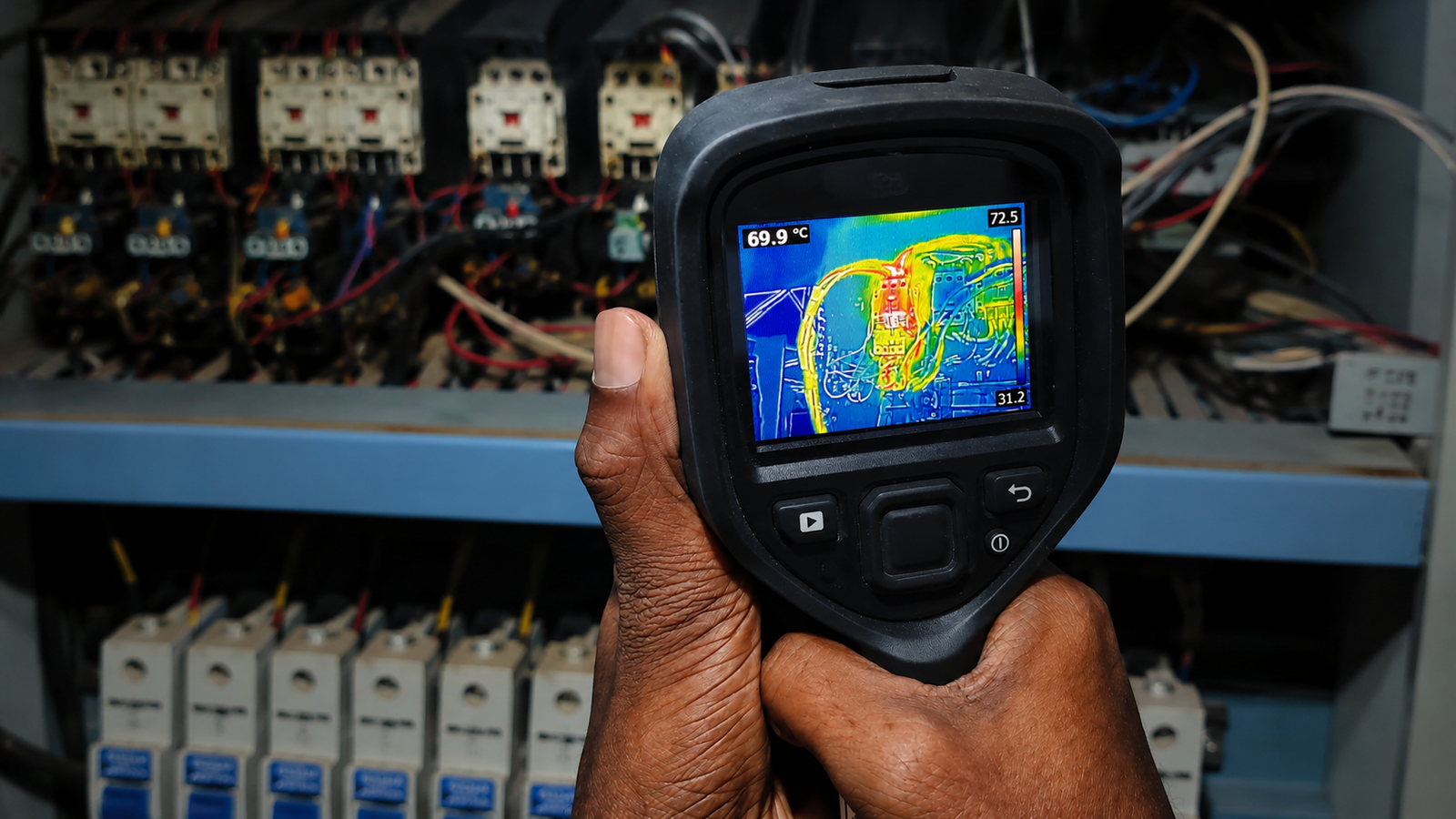
Hotspots, bypassed diodes and PID on solar arrays; loose joints, overloaded conductors and failing bushings on HV plant. Surveyed to IEC TS 62446-3 (PV) and NFPA 70B, classified by severity.
Delivered on rooftop PV for Piramal Glass and a Biyagama manufacturer · Piramal Glass 33 kV gantry
Photogrammetry models and orthomosaics of substations and industrial sites, with thermal data mapped onto the model so each finding is tracked at the same point survey after survey.
Delivered for Piramal Glass 33 kV gantry and substation
High-resolution zoom imagery of insulators, tower hardware, roof-mounted plant and industrial structures, delivered as a located defect register your maintenance team can act on.
Captured on the same flight as every thermal survey, or scoped on its own
Aerial work is scoped alongside our ground-based infrared thermography, electrical safety audits and ETAP studies — a drone finding often becomes the first line of a testing or protection scope.
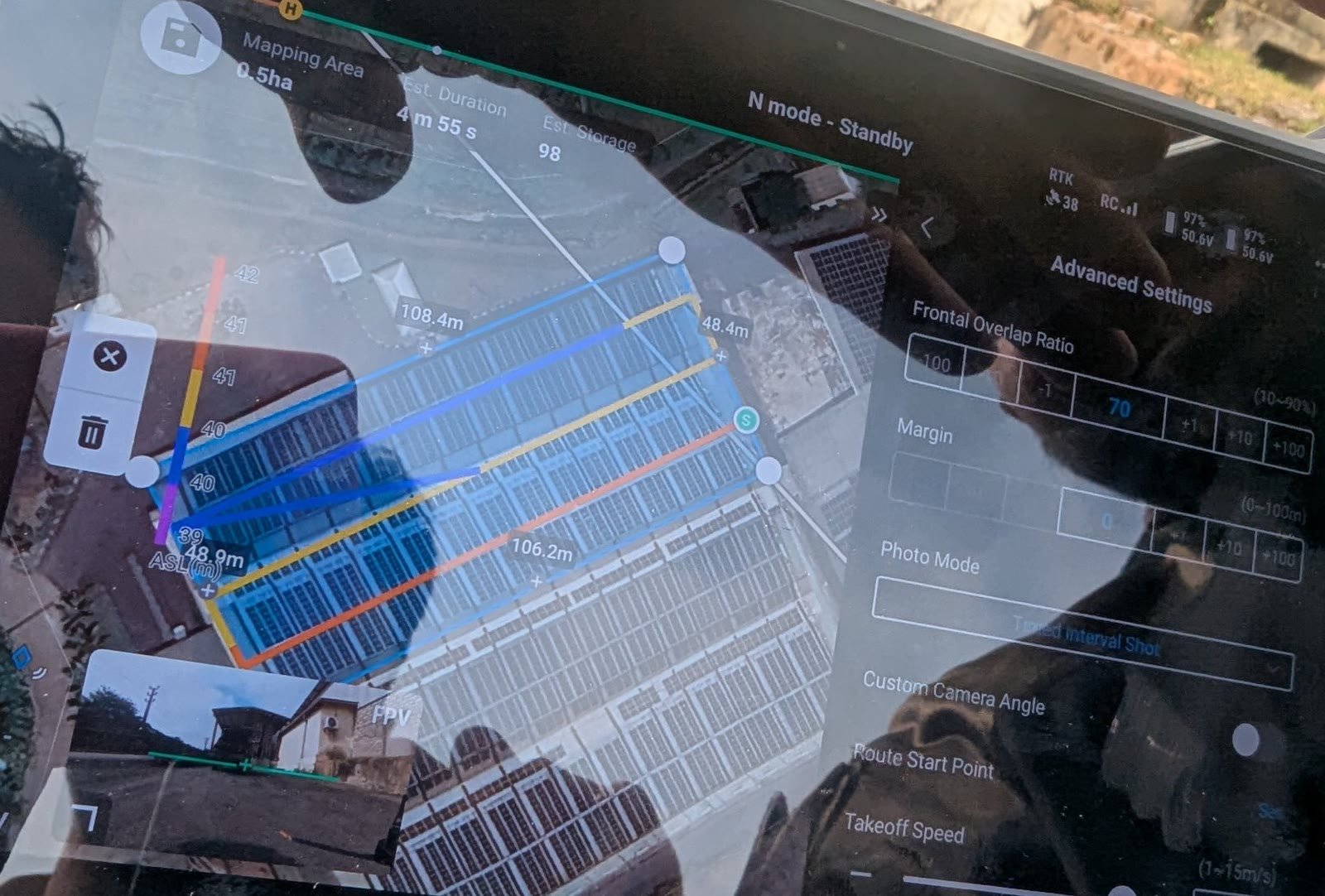
2 MW rooftop array surveyed to IEC TS 62446-3 on the Matrice 350 RTK with H20T payload at 3 cm/px; every module classified by the in-house thermography team.
Megawatt-scale rooftop solar across three separate arrays on one manufacturing site, flown and analysed as a single survey with per-array reporting. Client details withheld under NDA.
Aerial thermography of the live 33 kV gantry, power transformers and switchyard, with thermal data mapped onto a photogrammetric 3D model of the substation — no outage, no one inside the fence.
Asset list, access, airspace clearance and the load conditions we need the plant running at. Thermography is only useful under load.
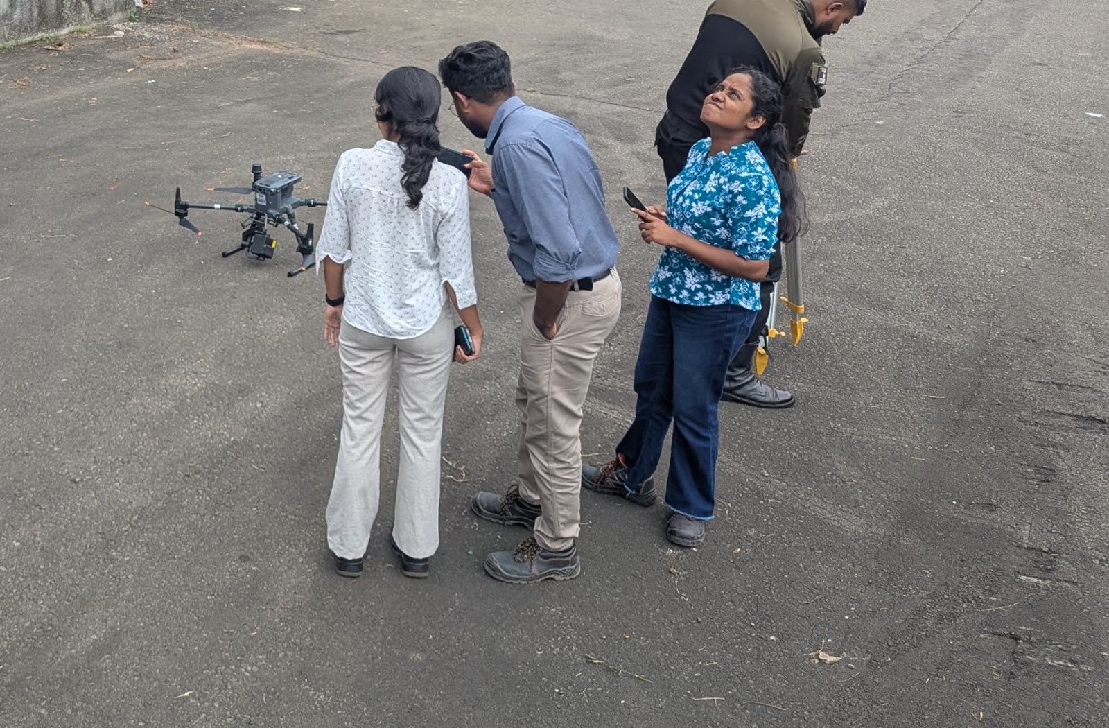
CAASL-registered pilot and thermographer on site together, so the camera is pointed at what matters. A few megawatts of PV is half a day on site.
Every image reviewed in Colombo by a Level II or III thermographer and an electrical engineer; anomalies graded against the asset, ambient and load.
Located findings, severity, recommended action and timeframe, in WRENS. Follow-up testing or a protection study scoped from the same report if needed.
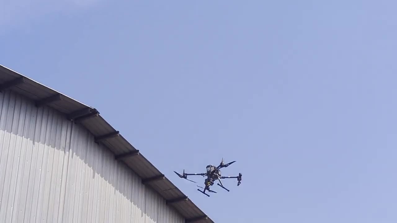
DJI Matrice 350 RTK + H20T — radiometric thermal 640×512, zoom and laser rangefinder. Used on every completed project to date.
DJI Matrice 4T — compact integrated thermal/zoom platform for fast-mobilisation sites.
IEC TS 62446-3 aerial thermography of PV · NFPA 70B electrical maintenance · ISO 18436-7 thermographer qualification · CAASL operator and pilot registration
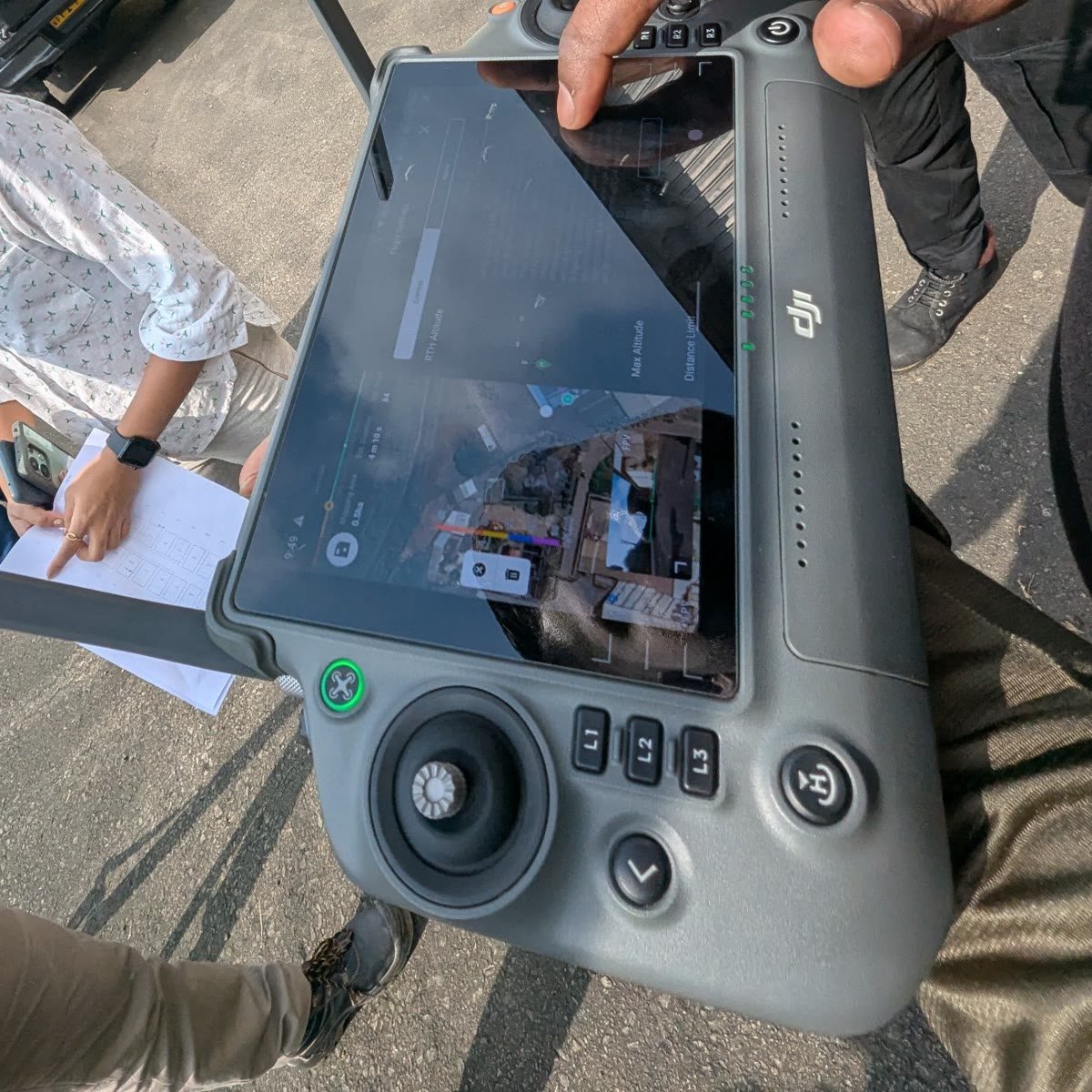
Live thermal feed on the controller — the thermographer sees the array as the pilot flies it.
A hot spot is visible on the controller the moment the aircraft passes it, so the thermographer on site can re-fly a string or change altitude before the team packs up. The grading, root-cause reasoning and report are done afterwards against the radiometric data, not the live picture.
Aerial thermography of floating and rooftop solar, powerhouse roofs and overwater distribution is part of our Resort Electrical Assurance Programme in the Maldives, scheduled in the October–November and May–June windows and clustered by atoll. Flight approvals are arranged with the resort for each engagement.
No — the opposite. Thermal anomalies only show under load, so we survey with the plant running normally and nobody inside the exclusion zone.
A certified Level II or III thermographer and a Chartered Electrical Engineer, in-house. The pilot flies; they decide what the image means.
A few megawatts of rooftop PV is half a day on site. A substation or gantry yard is similar. Analysis and reporting follow in Colombo, so the report arrives within days, not weeks.
Stand-off distance is set per asset and voltage in the flight plan. The zoom and thermal optics mean we rarely need to be close; the engineer, not the pilot, decides the minimum.
Anything behind a panel cover or inside a cabinet. For switchgear interiors we pair the flight with ground-based thermography; for suspected PID we may recommend a closer hand-held survey of the flagged strings.
Yes. Vibhawa is a CAASL-registered drone operator and every flight is flown by a CAASL-registered pilot, working alongside our thermographers and engineers.
A Google Maps pin for the site, and the basics of what we are flying over — for solar PV, the capacity in MW; for a substation, the voltage level and what is in the yard. We come back with a clear scope and quotation.
Electrical Testing
Infrared Thermography
Electrical Consultancy
Electrical Design
Compliance Monitoring
Other Services
© 2025 Vibhawa Consultants. Site By Remnis Global